How Drought Creates Stronger Santa Ana Winds

With the devastation of the, you may be hearing a lot about the Santa Ana Winds. So, what are these specifically named winds, and what is causing them to be so strong this year?
The winds, named after Southern California’s Santa Ana Canyon, occur most often in the fall and winter. According to The Weather Channel, the Santa Ana Winds develop when a ridge of high pressure sets up across the Great Basin in the West while an upper low spins across the dessert Southwest. The difference in pressure between the two allows easterly or northeasterly winds to rush down the mountainside, said Tiffany Savona, a Weather Channel meteorologist. As air descends it is compressed, meaning it warms up and dries out. Winds speeds increase even more and the air squeezes through canyons and passes.
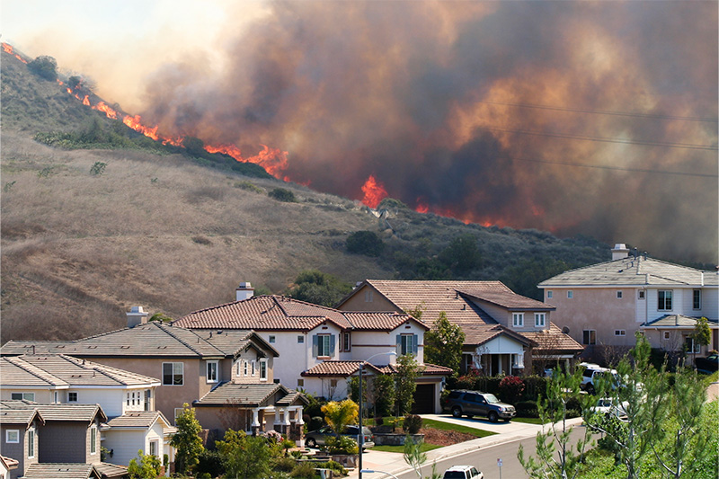
The Santa Ana winds often lead to a high fire danger, especially if Southern California is in a drought. More than 83% of Los Angeles County was in a drought, according to the most recent U.S. Drought Monitor.
Extremely critical fire weather conditions will persist across portions of the Southern California Coast as strong downslope Santa Ana winds continued, according to the National Weather Service. The very strong winds, combined with relative humidities in the teens and dry fuels, continued to support a dangerous wind and fire weather event.
This is the second time this winter that Santa Anas have fueled fires in California. In December, Malibu’s Franklin Fire was fanned by these winds.


