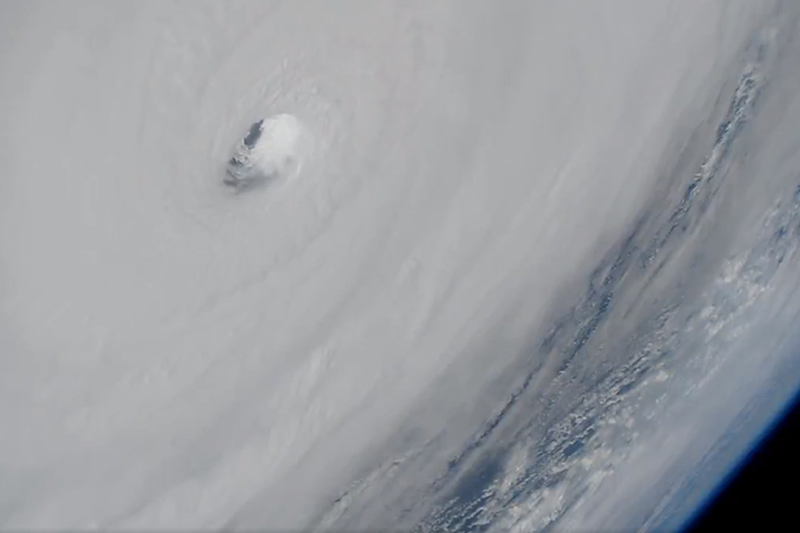
Hurricane Michael Decimates Parts of the Florida Panhandle

UNITED STATES — October 10, 2018 — Hurricane Michael made landfall Wednesday October 10 at Mexico Beach, FL, as a Category 4 (almost Category 5) hurricane with sustained winds of 155 mph and an eight-foot storm surge.
It wrecked havoc in the area, with large swaths of land in Mexico Beach and nearby Port St. Joe completely flattened. Other nearby locations sustained catastrophic damage, including parts of Panama City Beach, FL, especially the Tyndall Airforce Base outside the city. Hurricane Michael made history as the strongest recorded storm ever to hit the Florida Panhandle, according to CNN.
The hurricane followed a northeastern track across parts of southeastern Alabama where it was downgraded to a tropical storm before moving into Georgia, the Carolinas, and Virginia, finally moving off the Mid-Atlantic coast on Friday, according to the National Hurricane Center.
There’s little left for restoration in Mexico Beach. Most of the area has been entirely leveled, with a few remaining homes dotting the landscape. NOAA released real-time satellite imaging of the affected areas so that evacuees could evaluate property damage and family of those who have not been heard from could find a glimmer of hope in a loved one’s home still standing. Thousands of homes and business were damaged or destroyed by the storm. Boston-based insurance company Karen Clark & Company estimated Thursday upwards or $8 billion in damages, excluding damages covered by flood insurance. An estimated 1.5 million people in the storm’s path were still without power on Friday, and Mexico Beach remained without cell service, as towers were downed in the storm.
Hundreds have been rescued by emergency services, and 11 people have been confirmed dead. That number is expected to rise as the worst-hit areas become accessible.
Tuesday, October 9
CNN reported that 3.7 million people are under a hurricane warning, and mandatory or voluntary evacuations have been ordered in at least 22 Florida counties. Officials are warning people in evacuation zones to leave as soon as possible.
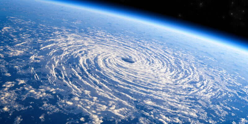
Hurricane Michael is producing sustained winds of 140 mph with higher gusts, and hurricane-force winds extend up to 45 miles from the center of the storm, according to the National Hurricane Center. Though the storm is expected to weaken after it makes landfall, hurricane conditions will push inland, affecting much of the Florida Panhandle and parts of southeastern Alabama and southwestern Georgia.

Image courtesy of NOAA
In addition to damaging winds, forecasters are warning of life-threatening storm surge along the Florida Gulf Coast, as high as 9 to 13 feet from Tyndall Air Force Base, FL to Keaton Beach, FL, according to the National Hurricane Center. Between now and Friday, Hurricane Michael will dump 4 to 8 inches of rain over the Florida Panhandle and Big Bend, as well as portions of Alabama and Georgia. Some areas could see as much as 12 inches, and the heavy rain could lead to life-threatening flash floods.
As the storm moves across the southeastern U.S., the storm surge and heavy rains will likely cause widespread flooding, according to CNN. Up to 6 inches of rain is expected in parts of the Carolinas, where residents are still recovering from Hurricane Florence’s drenching rain just a month ago.
Stay tuned for more updates as the storm progresses.


