Forecasters Share Where the Heaviest Snowfall Is Expected
As fall progresses, forecasters are predicting a winter that will include snowy nor’easters and frigid Arctic blasts, along with areas where drought conditions will continue. Meteorological winter starts on Dec. 1, while astronomical winter begins on the solstice, which in 2025 occurs at 10:03 a.m. ET on Dec. 21.
AccuWeather forecasted a “bookend winter” for the central and eastern U.S., with the biggest storms expected during the opening and final weeks of the season. Early in the season, storms are likely to move from Canada into the Midwest before heading toward the mid-Atlantic and New England regions, where some could develop into nor’easters. The National Weather Service defines nor’easters as storms that either exit or move north along the East Coast, bringing winds from the Northeast. By late winter, the storm track is anticipated to shift, bringing systems from the Plains and Mississippi Valley into the Appalachians, Midwest, and Northeast.
Snowfall is expected to be higher than last winter in parts of the Northeast, including Philadelphia, New York City, and Boston. However, totals may still fall below the historical average, as mid- to late-winter storms are likely to produce a mix of rain and snow rather than just snow. A snowy winter is also anticipated across sections of the Midwest, particularly from the Plains to the Ohio Valley, and in areas of Washington, Oregon, Idaho, and Montana.
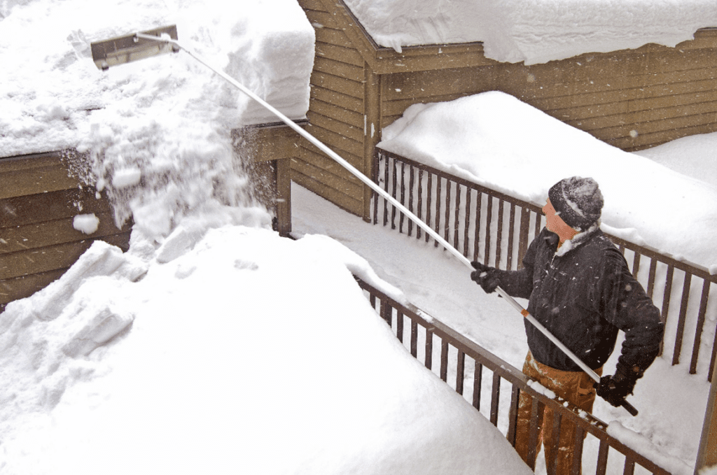
December is forecasted to be especially active around the Great Lakes, where blasts of cold air will lead to heavy lake-effect snow. Buffalo, New York, is projected to receive 90 to 100 inches of snow, which is close to its historical average and more than the 77.6 inches recorded last winter.
In contrast, the Gulf Coast and parts of the Southeast are expected to have temperatures above historical averages and precipitation below historical norms. Warm water in the Gulf could lead to severe thunderstorms, meaning that any rain that does fall could be accompanied by potentially dangerous conditions, including damaging winds, lightning, and tornadoes.
A warm, dry pattern is expected to dominate across California and the Southwest, where worsening drought and an increased risk of wildfires are anticipated.
A key factor to watch is whether a La Niña will develop, as it could significantly influence weather patterns across the U.S.