California Prepares for Historic El Niño
The National Oceanic and Atmospheric Administration boosted the odds to 83% that the intensity of this El Niño will exceed the intensity of all others since at least 1950, up from 75% last month.
This season has already become a super El Niño, and current trends suggest it will likely become the strongest El Niño on record.
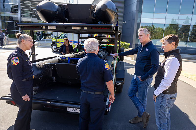
In turn, last month California Governor Newsom proclaimed a state of emergency, mobilizing state resources ahead of potential winter storms and other impacts. The emergency proclamation streamlines measures to help California prepare for this historic El Niño, as the state is likely to bear the worst impacts. The proclamation directs state agencies to protect vulnerable communities, prepare roads and critical infrastructure, stage emergency supplies and help local partners reduce flood, landslide and coastal risks.
El Niño is a natural climate pattern marked by warmer-than-average ocean temperatures in the tropical eastern Pacific, which can shift weather patterns and bring wetter, more intense winters to California. Climate change can supercharge this natural climate pattern. A study published in the journal Science last month found that El Niño events are now more than 36% stronger than before the industrial era, and this trend has accelerated over the last 40 years as the planet warms.
“We are not waiting for this season’s storms to be on our doorstep,” said California Office of Emergency Services (Cal OES) Director Caroline Thomas Jacobs. “Cal OES is leading California’s statewide efforts by bringing state and local partners together, conducting advance planning efforts and identifying potential needs before impacts occur. By planning early and coordinating resources ahead of El Niño, we are working to ensure communities and first responders have the personnel, equipment and support they need to prepare for severe weather, respond quickly when conditions change and protect lives and property across California.”
El Niño does not guarantee a wet winter or any storm, but it heightens the risk of strong storms in California. The state said Californians should prepare now for the possibility of heavy rain, snow and flooding by:
- Signing up for alerts. Get local emergency alerts here and follow trusted sources.
- Knowing your flood risk. Find out whether your home or workplace is in a flood-prone area or downslope of an area recently affected by wildfire, where heavy rain can increase the risk of flooding, debris flows and mudslides.
- Staying informed. Watch weather forecasts and sign up for emergency alerts from your city or county. Conditions can change quickly during major storms, so follow instructions from local emergency officials.
- Having an evacuation plan. Know where you would go and how you would get there if you need to leave quickly. Keep an emergency kit ready, including plans, medications and supplies for pets and other animals.
- Never driving through floodwater. Water on flooded roads can be deeper and faster-moving than it appears, and roadways may be damaged or washed out beneath the water. Turn around and find another route.
Additionally, Governor Newsom recently opened the modernized State Operations Center and announced new disaster intelligence satellites to deliver near-real-time information on flood impacts and other hazards statewide.
Through an agreement with ICEYE, a satellite-imaging company that helps governments assess disaster damage from space, Cal OES is expanding its ability to receive near-real-time information on floods, wildfires and other disasters, even through clouds, smoke or darkness. The technology can help emergency managers identify where flooding is occurring, estimate water depths and assess potential damage to homes, roads and critical infrastructure, even under heavy cloud cover or severe weather.
The information will integrate into California’s statewide emergency operations and be shared with state agencies and local emergency managers to establish a common operating picture during significant storms. These capabilities can help officials more rapidly identify impacted communities, prioritize response resources, and begin assessing damage and recovery needs.

Cleanfax Staff
Cleanfax provides cleaning and restoration professionals with information designed to help them manage and grow their businesses. https://cleanfax.com/